During the Saariston kuva project, the planned pilot-oriented approach was implemented through stakeholder collaboration, joint planning, data acquisition, and method development. In line with the original project plan, the work focused on identifying concrete case projects together with relevant actors and developing broadly applicable image-analysis methods based on those cases.
Both projects were carried out in cooperation with Turku University of Applied Sciences’ Water and Environmental Engineering group.
Image analysis of ditch environments in Southwest Finland
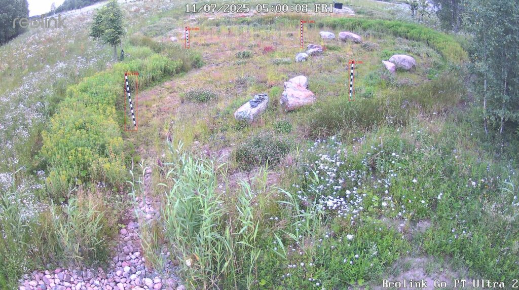
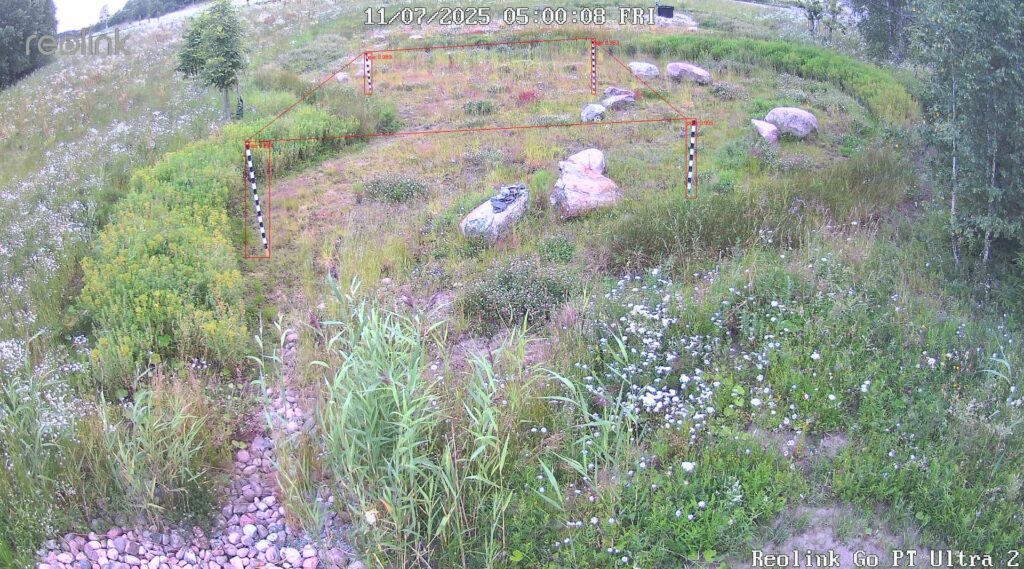
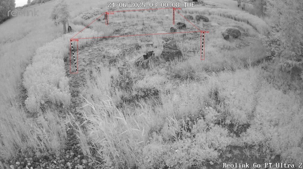
The first pilot project focused on ditch environments in Southwest Finland located near agricultural fields. These ditches collect and convey water onward through the catchment area and ultimately toward the sea, making them relevant from the perspective of nutrient transport and environmental loading. During the project, several planning meetings were held with the partner organisation and a practical protocol for image acquisition and analysis was established. Images were collected during the summer months using a fixed camera setup, with repeated imaging under consistent settings in order to ensure comparability and support reliable quantitative analysis. Reference poles were included in the imaging setup to enable later measurement of changes in water level and vegetation growth. Based on the collected material, Turku BioImaging’s analysis team developed an image-analysis pipeline and trained an image classifier to identify the images that were relevant for further analysis. This formed the technical basis for the next stage, namely quantifying water level and vegetation growth over time using the reference points in the images
interpolation of water-quality measurement data
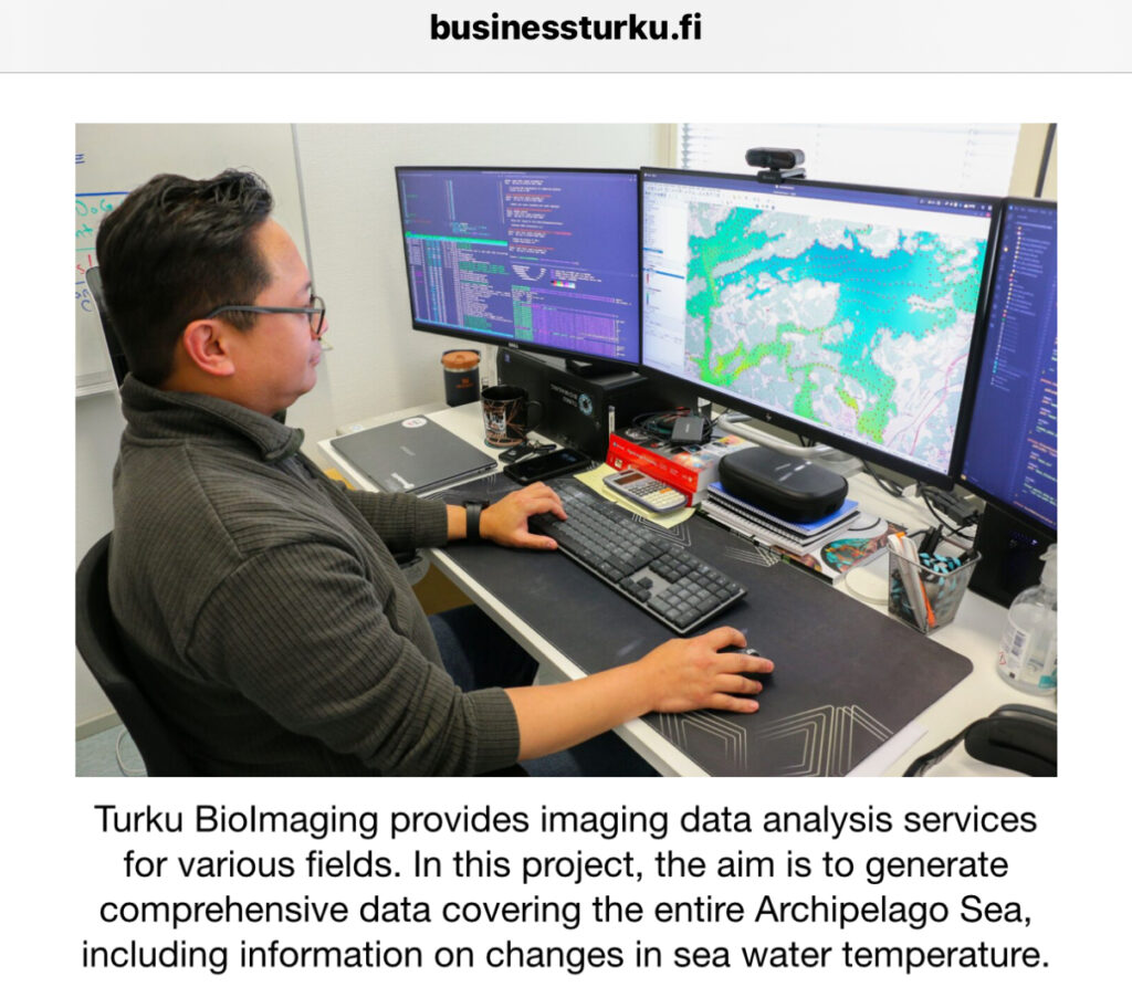
This pilot project focused on interpolation of water-quality measurement data collected by the same partner organisation from Finnish lake and Baltic Sea waters. The existing measurement process is based on boat-based data collection at intervals, with the resulting observations linked to location and later processed into raster form. In practice, this means that measured values exist only at discrete points and interpolation is needed to estimate the values between measurements. The pilot project addressed a recognised limitation in existing interpolation approaches: they do not adequately account for land areas, which can reduce prediction accuracy especially in fragmented coastal environments. The model was successfully developed so that it uses the available measurement points while also taking land areas into account, thereby improving the realism and expected accuracy of the interpolation. As a result, agreement was reached to continue applying the model to Baltic Sea data after the end of the Saariston kuva project. This pilot therefore produced a concrete methodological result already during the project period, while also establishing a clear continuation path toward operational use in the marine environment. This project has also attracted interest from Business Turku.